We’re aware of an issue with this stream
 28°C / 82°F
 09:17
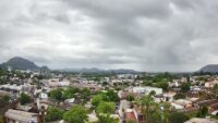
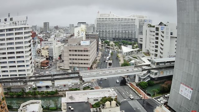
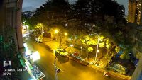
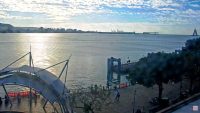
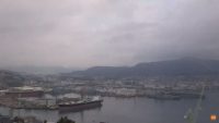
09:17Naha City Webcam in Okinawa
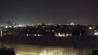
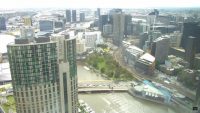
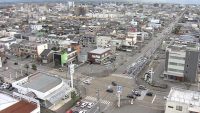
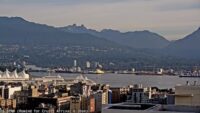
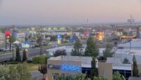
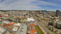
You may never have expected to see the word conglomeration represented adequately in a visual manner. Well, on this occasion, the unexpected has happened. The view of Naha City on this live feed is about as much of a conglomeration as you can possibly get.
There’s so much clustered together in the area this webcam focuses on, it’s hard to know what to look at, or where to look, first. That said, if it’s rush hour you may find your eyes drawn to the constant flow of traffic going up and down the various streets. That’s captivating, but not as captivating as watching the monorail trains pulling in and out of the station. They’re a unique sight in Japan’s Okinawa Prefecture so make the most of it.
For the geographically uninformed – Okinawa Prefecture is a group of islands and Naha, located on Okinawa Island, is the Prefecture capital. Even though the city of Naha covers an approximate area of almost forty square kilometres, its three-hundred thousand plus residents, as you can see on this view, don’t have a lot of elbow room to call their own. At a density of eight-thousand per square kilometre it’s pretty cramped and public transport can, understandably, be crowded.
Take heart though, because even if it’s standing room only, you’d be able to enjoy your journey in relative peace as the use of mobile phones on buses and trains is considered bad manners in Japan. What a shame the rest of the world doesn’t follow suit. There’s really nothing quite like staring out of a train window as the world flashes by without being obliged to listen to a secondhand conversation.


3.69km / 2.29m
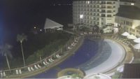
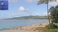
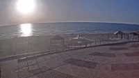
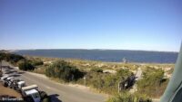
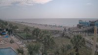
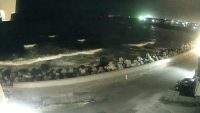
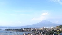
Kariyushi Beach Resort Ocean Spa Webcams
41.71km / 25.92m
55.58km / 34.54m
617.16km / 383.51m
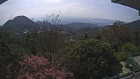
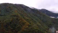
Yangmingshan National Park Webcams
623.65km / 387.54m
628.91km / 390.81m
629.47km / 391.16m
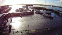
Tamsui Ferry Pier and Traffic Webcams in New Taipei City
635.94km / 395.18m
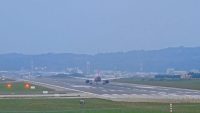
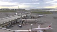
Taoyuan International Airport (TPE/RCTP) Webcam
658.21km / 409.02m
660.59km / 410.50m
687.95km / 427.50m
717.44km / 445.82m
749.29km / 465.62m
760.92km / 472.84m
764.47km / 475.05m
Terminal Webcam at Matsu Beigan Airport
765.73km / 475.83m
775.93km / 482.17m
778.05km / 483.49m
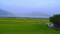
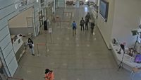
Brown Avenue, Chihshang & Duoliang Station, Taitung
781.03km / 485.34m

Aqua Planet Aquarium Webcam in Jeju
805.82km / 500.74m